

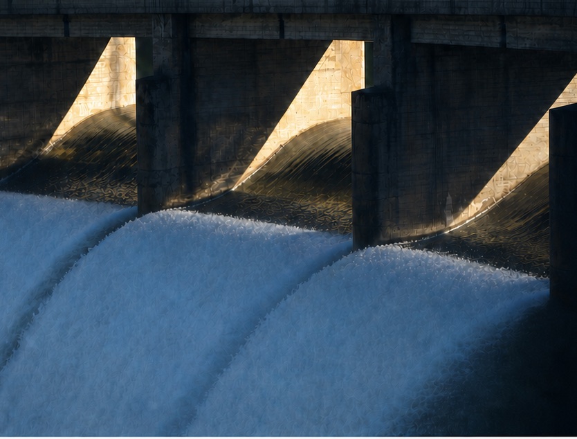
From a folder of inspection photos to
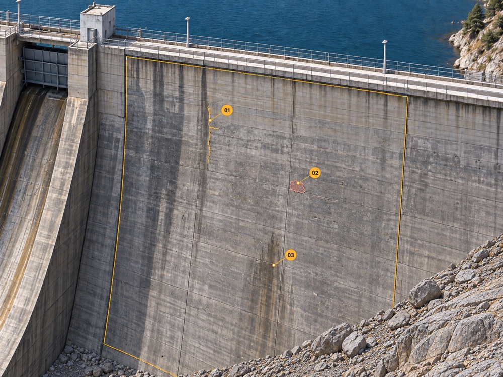
The whole concrete surface, captured. Cracks down to 0.2 mm measured and recorded by your own experts. Next inspection, you compare against that record instead of starting over.
Tell us what you are responsible for and we will tell you what the detection would actually return on it.
13th ICOLD European Club Symposium · Bydgoszcz · 21–25 September 2026
Can you find the same crack after the next inspection?
Talk Session C · Thursday 24 September
Not against paper and the photos on someone's drive. The first capture is what makes it possible: it becomes the baseline every later inspection is read against. Fredrik is in Bydgoszcz all week if you want to see one open on screen.

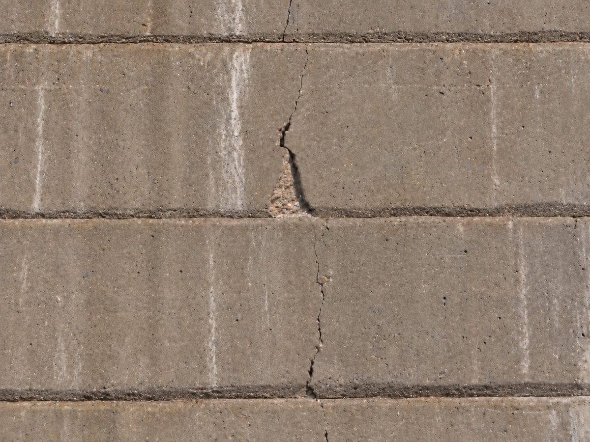
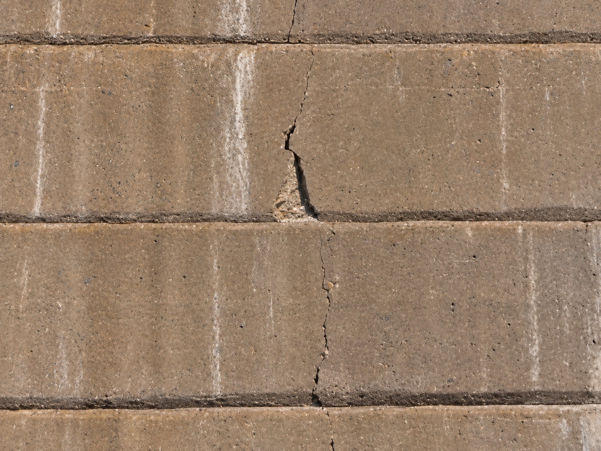
Findings carry stable identifiers, so the next inspection starts from the record rather than from memory and loose photographs. The PDF report still comes out at the end — it just stops being the only thing the inspection left behind.
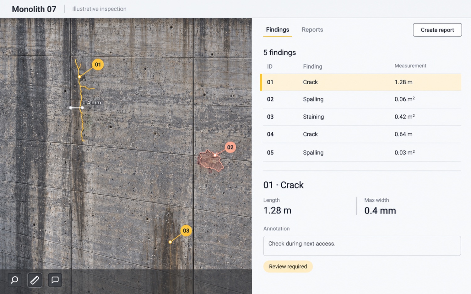
Every finding is there for your own inspectors and engineers to review, measure and annotate. What they conclude stays available to the rest of the organisation, and stands as the record the next inspection starts from.
See where the damage actually is across the whole structure, then send people to the places that need them.
Tell us what you are responsible for and we will tell you what the detection would actually return on it.
Who it is for
Asset owners, engineering consultants and inspection experts.
One record serves all three. The owner commissions the inspection, the consultant specifies and reviews it, the inspection team captures and annotates it. Nobody ends up working from a different set of photographs.
Where it is used today
Dams and spillways · Bridges · Chimneys · Tunnels
Europe and North America.
Proven in the field
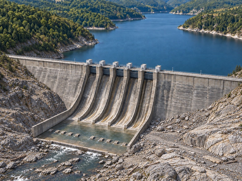
Uniper needed oversight of the largest monoliths on a buttress dam. Spotscale delivered a high-resolution textured 3D model built from drone imagery, with no scaffolding erected in the field.
“With every observation digitally anchored, we can return to the exact same coordinate in the future to monitor how a crack develops.”
How it works
STEP 1
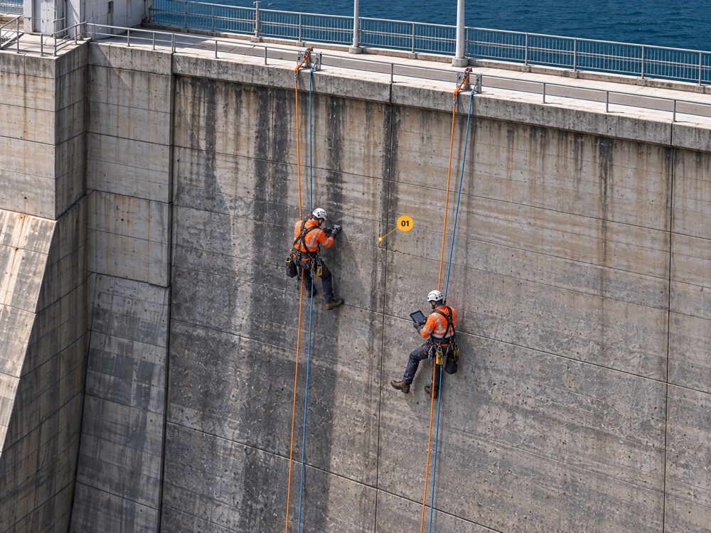
High-resolution imagery of the concrete surface, including drone-based capture where that is the right tool. It reaches surfaces that rope access and scaffolding struggle with, without shutting down traffic or production for long.
STEP 2
The imagery is reconstructed on the platform and Redetect AI™ identifies damage as 3D vectorized findings, each carrying its own identifier so it stays traceable.
STEP 3
Your experts visualise, measure, annotate, report and collaborate in the browser, then compare against earlier inspections.
The Pipedrive form loads here. It needs a network connection and is blocked in offline previews.