Spotscale Get in touch

From a folder of inspection photos to

one condition record.

The whole concrete surface, captured once and measured by your own experts. That first inspection becomes the baseline every later one is read against.

Get in touch

One email. Tell us about your structure and we will tell you what a full-surface record would show, and what it takes to get one.

  • Full-surface coverage
  • Identify cracks down to 0.2 mm
  • Digital records, comparable over time
  • Zero scaffolding
  • Web viewer or on-premise
  • Reports and 3D exports

The whole asset and a single 0.2 mm crack, in the same browser window.

Decide where the effort goes

See where the damage actually is across the whole structure, then send people to the places that need them.

Slot 2aThe whole dam from the air, as captured
The whole dam, from the air
Slot 2bSame dam, zoomed to the monolith the record flagged
The monolith that needs attention
Slot 2cAccess or repair team working that exact spot
Where the effort goes
Image slot 3Zoomed concrete surface with measurements and annotations, and a side tab with every finding logged.

Your experts, working from evidence

Every finding is there for your own inspectors and engineers to review, measure and annotate. What they conclude stays available to the rest of the organisation, and stands as the record the next inspection starts from.

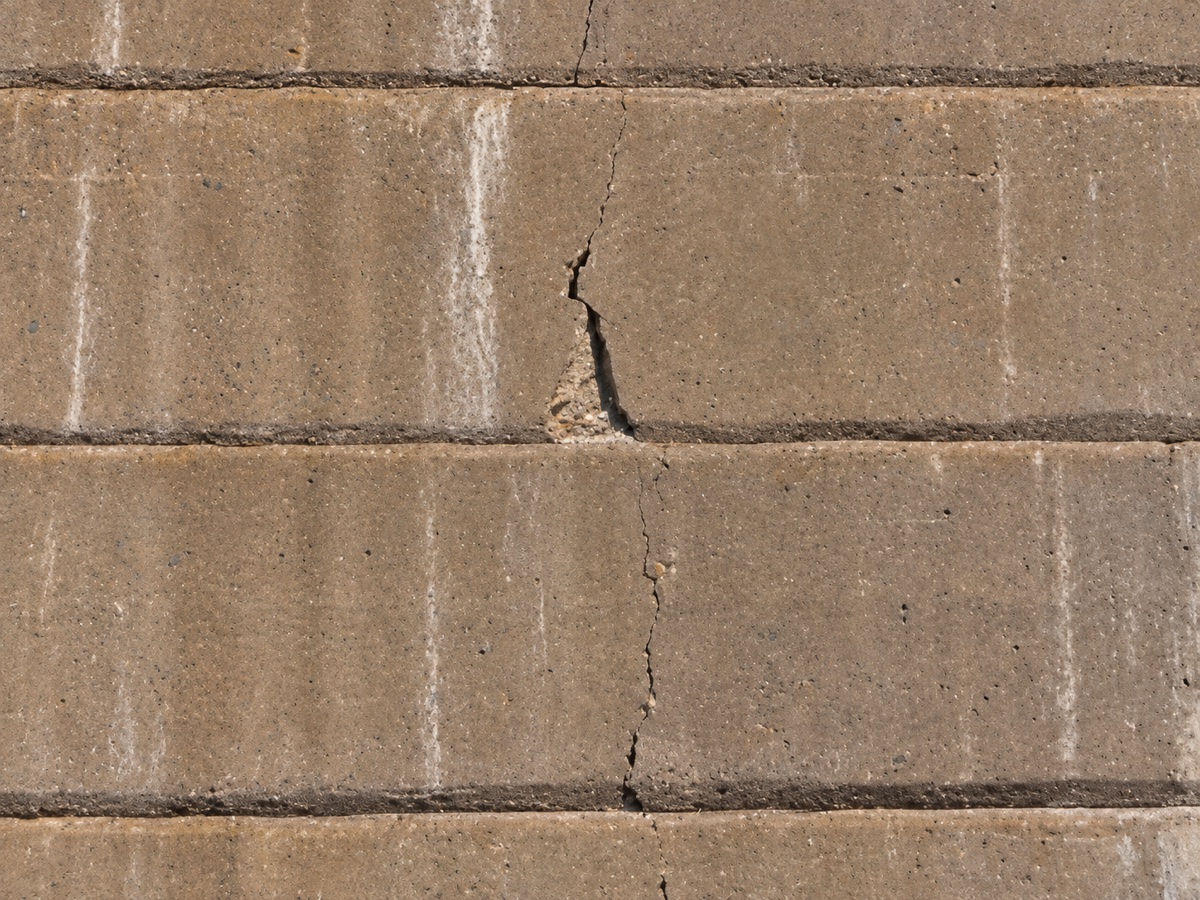
The same crack at the later inspection
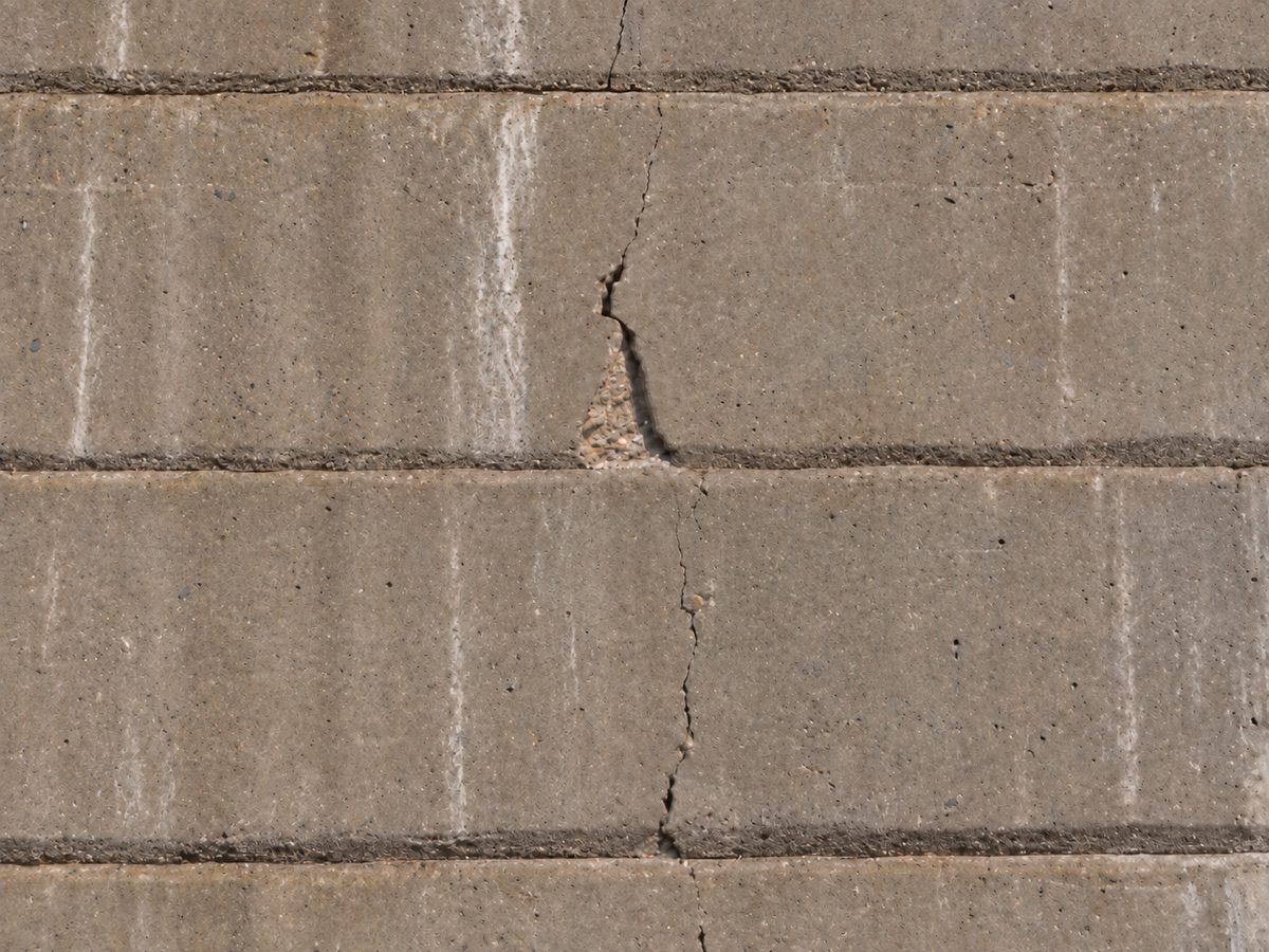
A crack at the first inspection
FindingF‑04821 CoordinateX 128.42 · Y 6.19 · Z 214.65 m
2026 2030
2026 · as inspected 0.2 mm max crack width
Change +0.3 mm
2030 · same coordinate 0.5 mm max crack width

Illustrative figures. Replace with measured values before publish.

Compare against last cycle

Findings carry stable identifiers, so the next inspection starts from the record rather than from memory and loose photographs.

Who it is for

Asset owners, engineering consultants and inspection experts.

One record serves all three. The owner commissions the inspection, the consultant specifies and reviews it, the inspection team captures and annotates it. Nobody ends up working from a different set of photographs.

Where it is used today

Dams and spillways · Bridges · Chimneys · Tunnels

Europe and North America.

Proven in the field

Storfinnforsen, Sweden's largest concrete dam.

Uniper needed oversight of the largest monoliths on a buttress dam. Spotscale delivered a high-resolution textured 3D model built from drone imagery, with no scaffolding erected in the field.

“With every observation digitally anchored, we can return to the exact same coordinate in the future to monitor how a crack develops.”

Lars Johnsson, Dam Safety Engineer, Uniper

Quote, figures and project detail reused verbatim from Spotscale's own published campaign page, spotscale.com/moving-inspection-from-scaffolds-to-the-screen. See open item O-2.

How it works

Three steps, then it is on record.

STEP 1

Capture

High-resolution imagery of the concrete surface, including drone-based capture where that is the right tool. It reaches surfaces that rope access and scaffolding struggle with, without shutting down traffic or production for long.

STEP 2

Process

The imagery is reconstructed on the platform and Redetect AI™ identifies damage as 3D vectorized findings, each carrying its own identifier so it stays traceable.

STEP 3

Analyse

Your experts visualise, measure, annotate, report and collaborate in the browser, then compare against earlier inspections.

The Pipedrive form loads here. It needs a network connection and is blocked in offline previews.